Urban Planning Solutions

We provide intelligent urban solutions and services for effective urban and regional planning.

Place Making Services

Our place making services enhance community spaces, fostering engagement and improving the quality of life.

A sprawling urban landscape featuring a dense array of high-rise buildings and residential structures. A river runs horizontally across the background, bordered by green spaces. Roads and railway tracks intersect the cityscape, creating a network of transportation routes.
Coordination Expertise

We specialize in coordinating urban projects, ensuring seamless collaboration among stakeholders for successful outcomes.

Our services include urban design, equity, community engagement, and strategic planning tailored to your needs.

Comprehensive Planning
An aerial view of a sprawling urban area with a prominent highway cutting through the landscape. Residential houses with red-tiled roofs densely populate the area on both sides of the highway. Lush green patches suggest parks or undeveloped land. The sky is overcast with thick clouds, adding depth to the horizon.
The aerial view showcases a large, semi-circular urban park surrounded by roads and buildings. The park features various landscaped sections with green trees, pathways, and open grassy areas. To the left, there is a section with construction or clear land. Surrounding the park are numerous residential and commercial buildings of varying sizes. The arrangement suggests a well-planned city area with optimal use of space.

Intelligent Planning

We provide intelligent planning and coordination for urban development.

High-rise buildings and dense urban development near a coastline. There are sandy areas near the sea moving towards a vast expanse of residential and commercial buildings. Roads and infrastructure are visible, connecting different parts of the city. Beyond the developed area, there are patches of open land and industrial zones.
Place Making

Creating vibrant public spaces for community engagement and enjoyment.
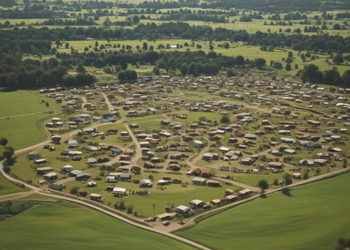
Aerial view of an urban landscape with densely packed buildings and streets forming a grid pattern. There is a large circular park area with trees and pathways situated prominently, surrounded by roads and vehicles.
An aerial view of a sprawling urban landscape with a complex network of highways and roads. Residential and commercial buildings are densely packed, with some green spaces interspersed. The roads form intricate patterns with loops and curves, highlighting the city's infrastructure.
Community Planning

Expert strategies for sustainable and efficient urban and rural environments.